
David Jordan,
Professor Andrew (University Distinguished Professor of History, The University of Southern Mississippi) Wiest
World War II Illustrated Atlas
Gebonden EN 2023 9781838863531Levertijd ongeveer 8 werkdagen
Gratis verzonden
Samenvatting
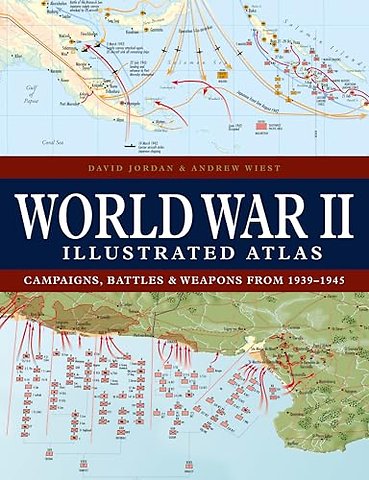
With 160 colour maps, World War II Illustrated Atlas plots the course of the land, sea and air campaigns in fine detail, tracing the ebb and flow of the fortunes of both sides. Contents include the land, sea and air campaigns in North-West Europe, Italy, North Africa, Russia, South-East Asia and the Pacific, Atlantic, and Mediterranean.
Specificaties
ISBN13:9781838863531
Taal:EN
Bindwijze:Gebonden
Aantal pagina's:256
Uitgever:Amber Books Ltd
Serie:Atlas
Lezersrecensies
Wees de eerste die een lezersrecensie schrijft!
Rubrieken
- advisering
- algemeen management
- coaching en trainen
- communicatie en media
- economie
- financieel management
- inkoop en logistiek
- internet en social media
- it-management / ict
- juridisch
- leiderschap
- marketing
- mens en maatschappij
- non-profit
- ondernemen
- organisatiekunde
- personal finance
- personeelsmanagement
- persoonlijke effectiviteit
- projectmanagement
- psychologie
- reclame en verkoop
- strategisch management
- verandermanagement
- werk en loopbaan